GIS and data analysis
Advanced technical services
We are specialists in GIS mapping and spatial analysis, statistical analysis and modelling, data management systems development, and field app design and configuration. We can equip your environmental projects with the cutting-edge technologies and data-driven solutions necessary for precision, efficiency, and innovation.
-
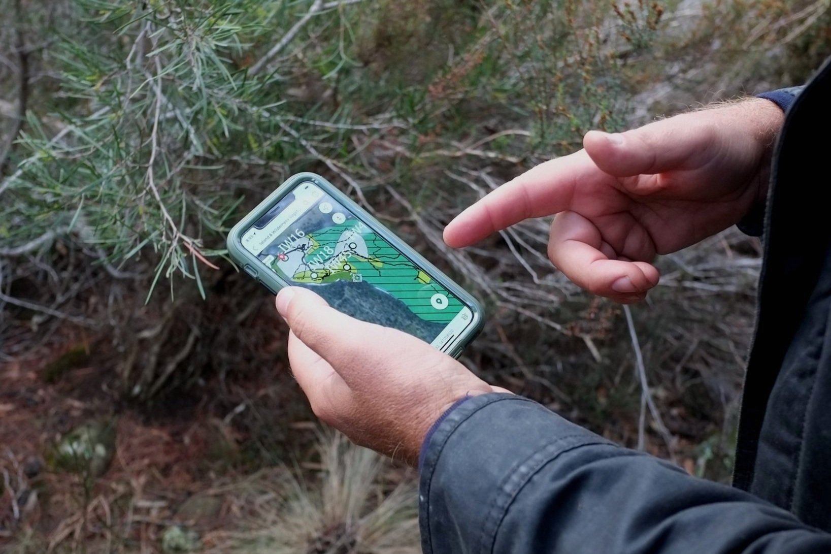
Utilise our GIS expertise to visually represent and analyse geographical and spatial data, allowing for a deeper understanding of environmental patterns and impacts. This service is essential for survey site selection, biodiversity monitoring, and natural resource management.
-
We apply advanced statistical techniques to model environmental data, providing forecasts and simulations that help predict outcomes and inform management strategies. This critical analysis ensures scientific rigour in the delivery of your environmental monitoring and research projects.
-
We develop robust data management systems that organise, store, and streamline analysis of large environmental datasets.
-
Enhance your field data collection with custom apps designed to fit your specific needs. These tools improve data accuracy and ease of collection, and can integrate seamlessly with your overall data systems for real-time analytics and reporting.
-
Our commitment doesn’t end with delivery. We provide ongoing support and updates to ensure that your technical systems adapt to new challenges and data requirements, keeping you at the forefront of environmental management technology.
How we can help elevate your capacity:
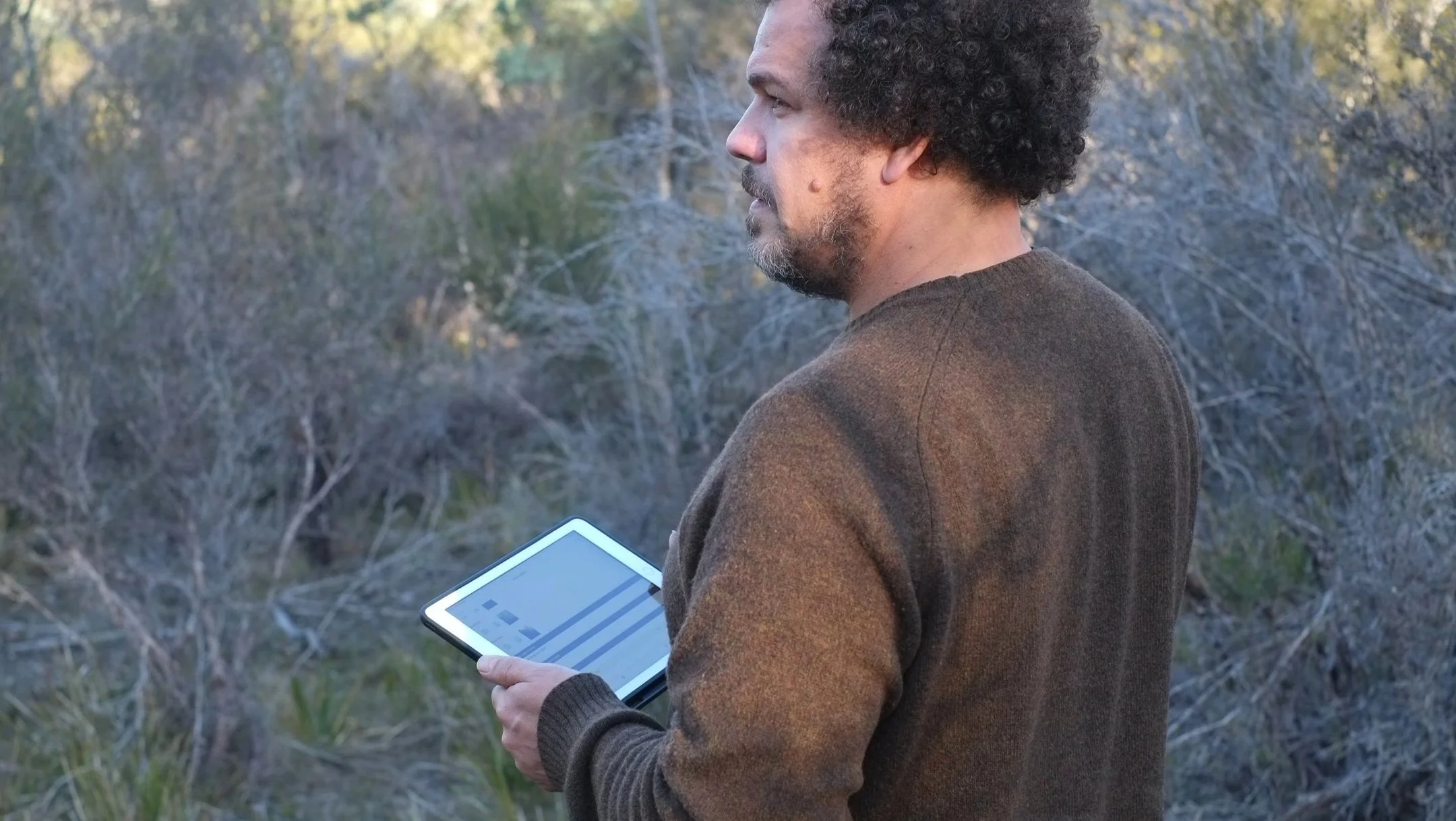
Image credit: vegetation surveying for a Natural Capital Account at The Quion - Matthew Taylor
Banner image credit: using custom vegetation monitoring maps at The Quion - Phillip Laroche